Project
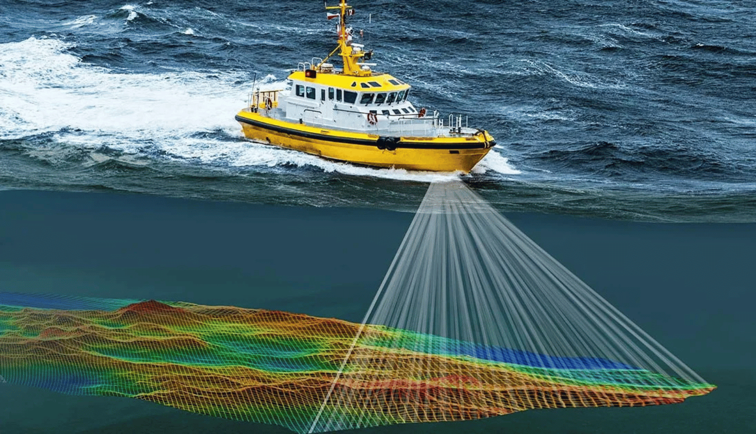
Bathymetry Survey
Team conducted a bathymetric survey to map the underwater topography of a coastal area to river in East Kalimantan. The data collected supported infrastructure development and environmental risk assessments, forming the basis for navigational safety and ecosystem protection.